Mineral Survey Record
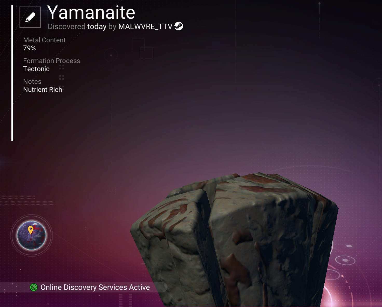
Scanner-Preserved Data
Field Description
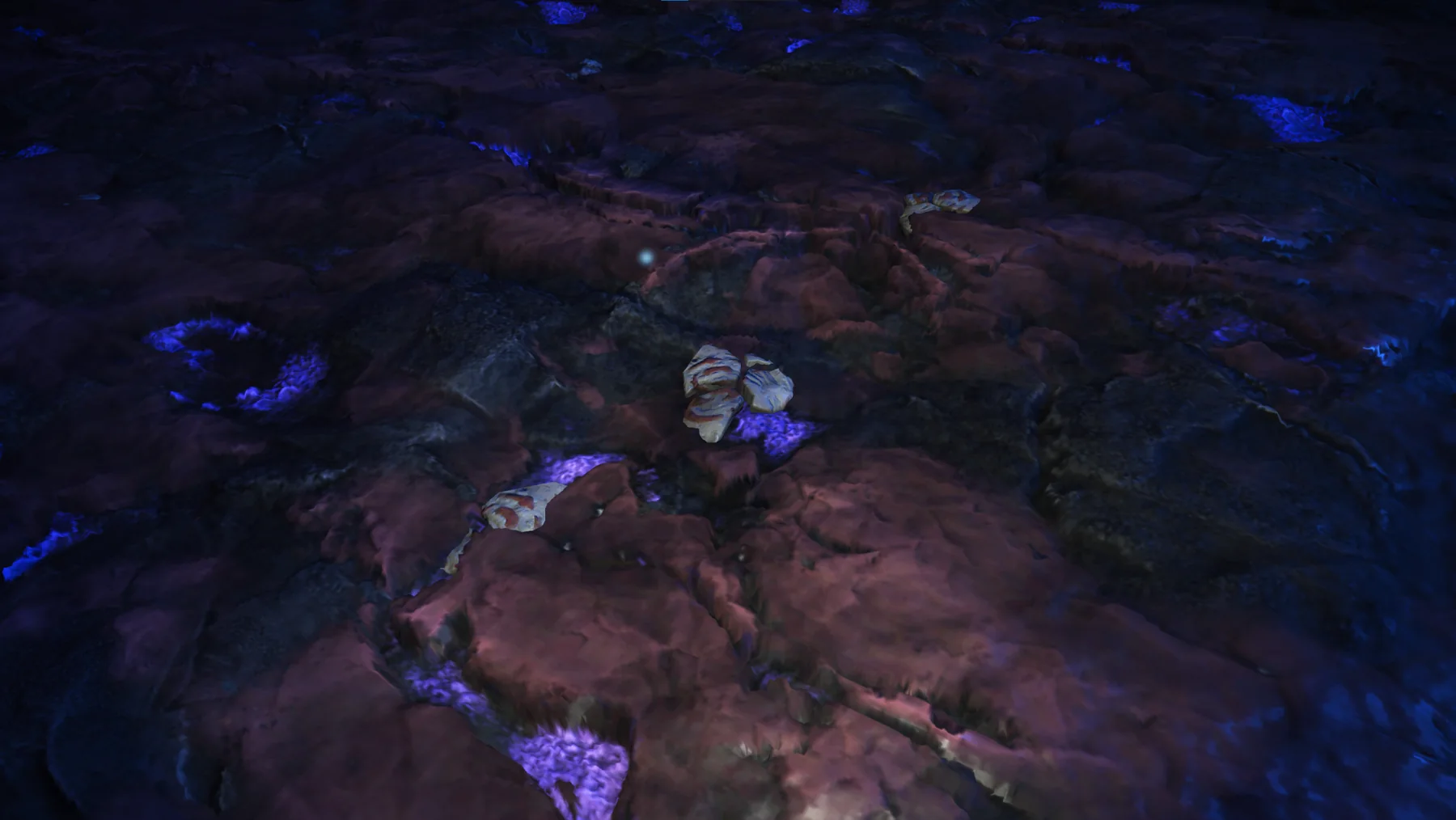
Angular, layered mineral exposed within fractured ground.
The phrase “Nutrient Rich” is retained as scanner-generated metadata and is not treated as an independently verified field conclusion.
Preliminary Geological Assessment
The angular form and exposed layering are visually consistent with the scanner’s tectonic classification. The field record alone does not establish the direction, timing, or scale of the forces involved.
Interpretations reflect the currently preserved field image and scanner record only and may be revised as additional evidence is authenticated.
Questions Retained
- Whether the visible layers continue beneath the exposed surface.
- Relationship between the layered form and nearby fractured terrain.
- Whether nutrient-rich scanner metadata reflects composition, surface deposits, or another scanner criterion.
- Occurrence of comparable tectonic-classified specimens outside Survey Site Alpha.
Archive Significance
Yamanaite contributes one authenticated tectonic-classified mineral record to the geological inventory of Serene Basin. Its preserved field appearance and scanner metadata support future comparison with specimens documented at other Ironleaf survey sites.
Preservation Justification
Retained as a scanner-verified specimen from Survey Site Alpha. Preservation supports later comparison of scanner classifications, visible morphology, and site distribution as the Ironleaf planetary survey expands.