EXPLORER JOURNAL
This record preserves the available high-altitude reconnaissance, shoreline selection, and initial marine deployment that established Pink Shoals as Survey Site Beta.
Continue to Site Log 002AEX-1A Ironleaf · Survey Site Beta
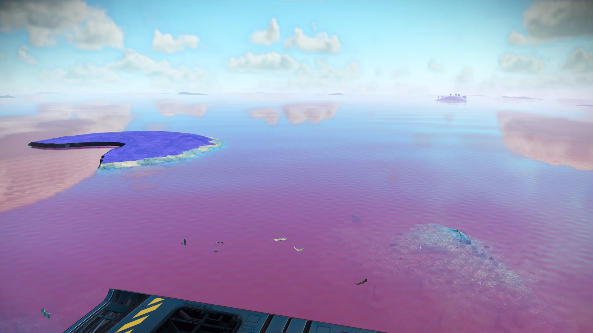
This record preserves the available high-altitude reconnaissance, shoreline selection, and initial marine deployment that established Pink Shoals as Survey Site Beta.
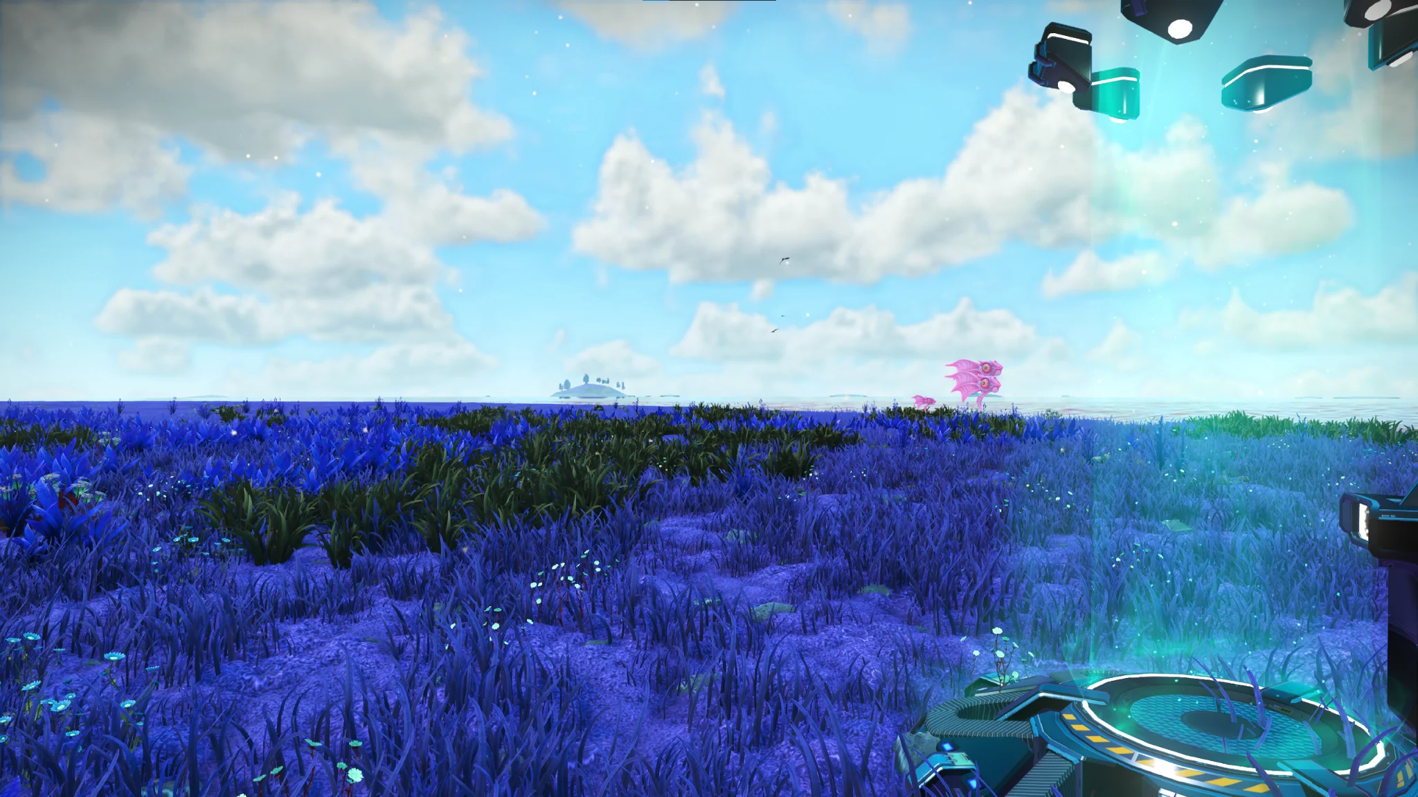
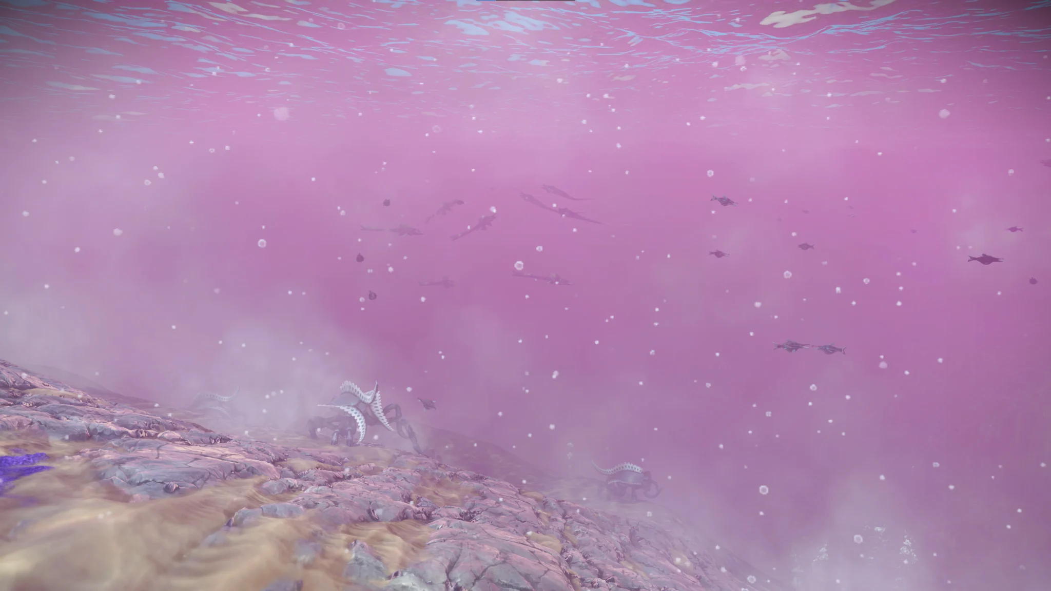
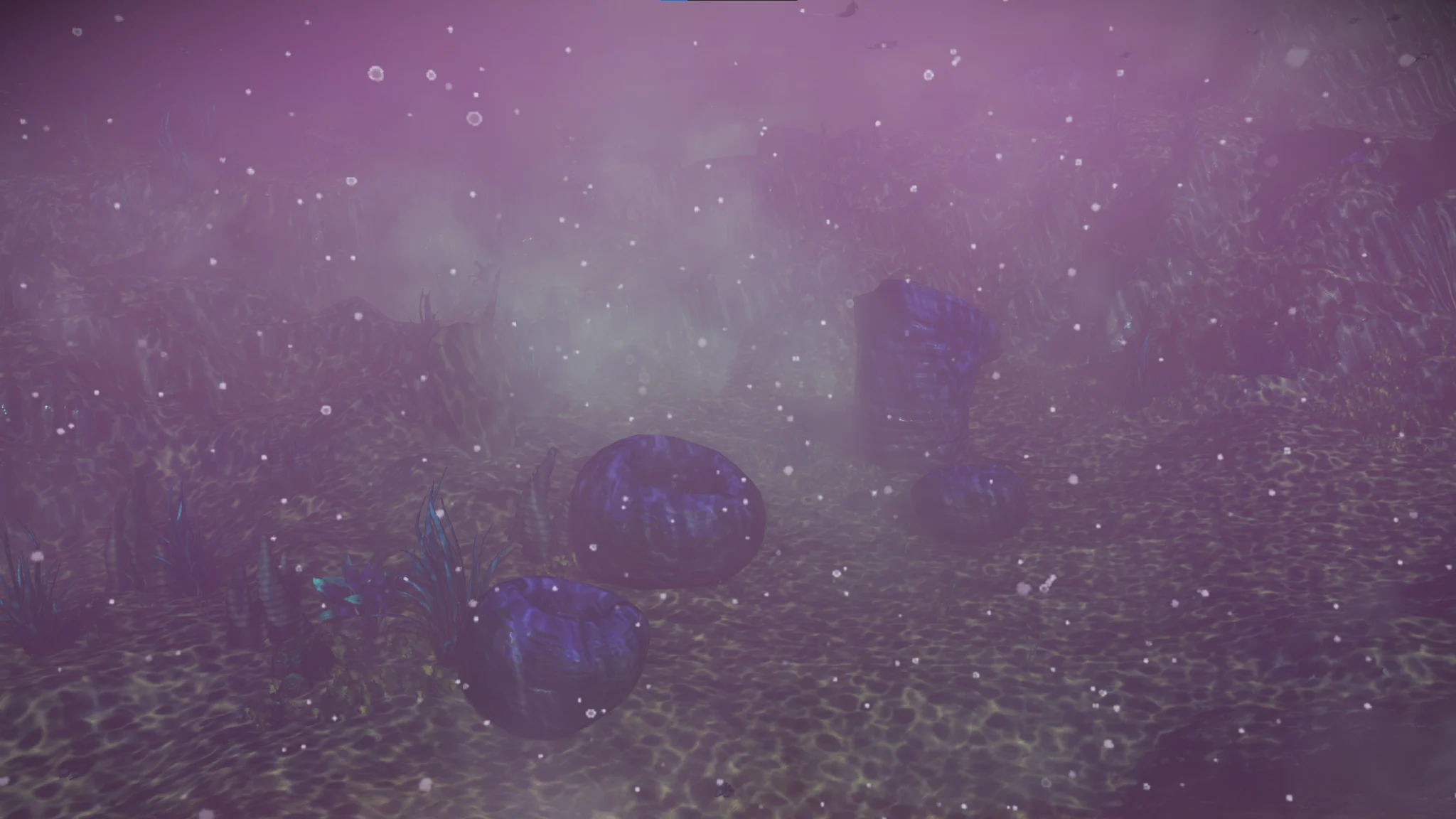
Continue to Site Log 002ASupplementary visual records recovered from Survey Site Beta and authenticated as part of the permanent Pink Shoals archive.
This site-operation record preserves the confirmed closeout of Pink Shoals. No contemporaneous departure transmission survives, so the record documents the operational closeout without reconstructing unrecorded dialogue.
Continue to Site Log 002BPink Shoals preserves a distinct shallow-marine environment within Ironleaf. The site combines open shoreline access, clear shallow water, rooted marine vegetation, multiple aquatic organisms, and unusual benthic structures within a compact survey area.
Eight authenticated scientific records are directly associated with Survey Site Beta: two mineral records, two botanical records, and four zoological records. The photographic archive additionally preserves environmental context that was not elevated to standalone scientific records.
No archive inconsistencies were identified during the site-level assessment.
Spiral mineral towers and hydrothermal-looking basin structures were observed in situ. Their formation history remains unresolved within the current evidentiary record.
The site supports both pelagic and benthic niches, including schooling fauna, larger solitary swimmers, seafloor walkers, and rooted marine flora.
Use Pink Shoals as a marine comparison point for future Ironleaf surveys, particularly when evaluating ecological differences between terrestrial and shallow-ocean environments.
Pink Shoals expands the Ironleaf record beyond the terrestrial baseline established at Serene Basin.
Benthic and hydrothermal-looking structures remain preserved as site-level visual context because no independent geological or planetary-feature record was authenticated. Site Log 002B likewise preserves only the confirmed closeout event and does not reconstruct an unrecorded departure transmission.